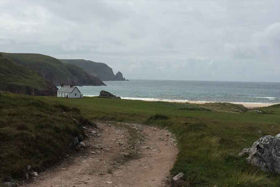
Driving the scenic yet bumpy road to Cape Wrath Lighthouse
Built by Robert Stevenson in 1828, Cape Wrath Lighthouse is located in the county of Sutherland within the Highland Region, in Scotland.
Where is Cape Wrath Lighthouse?
The lighthouse is situated on the most north-westerly tip of the Scottish mainland. It is the most north-westerly point in the mainland United Kingdom.
When was Cape Wrath Lighthouse built?
The lighthouse, a 20-metre (66 ft) tall white-washed tower built of granite, was constructed by Robert Stevenson in 1828 at 122 meters above mean sea level.
Can you drive to Cape Wrath Lighthouse?
The road to the lighthouse is very challenging. It’s a narrow, bumpy, windy road called Cape Wrath Road. It runs through one of Scotland's last great wildernesses. The road uses a series of rock causeways to cross peat bogs and revetments to maintain a route along steep slopes. Materials for the road were quarried locally, and there are a number of quarrying sites along it. A 4x4 vehicle is required.
How long is the road to Cape Wrath Lighthouse?
The road to the lighthouse, built in 1828 to support the lighthouse, is 11 miles (18 km) long, starting at Kyle of Durness. The rough road links the lighthouse with the Kyle of Durness, which is crossed by a passenger ferry service operating between May and September. It’s a challenging road crossing over narrow bridges. The road is marked with milestones and crosses the Allt na Guaille and Kearvaig River on contemporary arched bridges.
How long does it take to drive to Cape Wrath Lighthouse?
Located in one of the remotest places in the Scottish Highlands, driving the road without stopping will take most people between 35 and 50 minutes.
Pic: Mieszko Szymański