Cairnwell Pass is a sensational steep drive in Scotland
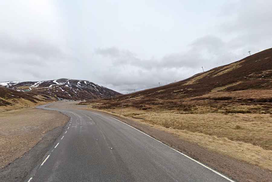
Cairnwell Pass is a mountain pass at an elevation of 684m (2,244ft) above sea level, located in Scotland. Plenty of sections are well into double digits on the way to the summit. It's one of the highest roads of the country.
Where is Cairnwell Pass?
The pass is located on the boundary between Perthshire and Aberdeenshire, in the central part of the country.
When was the road through Cairnwell Pass built?
The pass, utilized by drovers to transport cattle and sheep to market, traces the military route constructed by William Caulfeild in the 1750s.
Is Cairnwell Pass paved?
The road to the summit, Càrn a' Bhailg, is totally paved. It’s called A93. At this elevation, it is the highest main road in the United Kingdom.
How long is the Cairnwell pass?
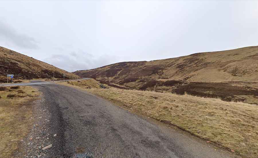
The pass is 23.97km (14.9 miles) long, running south-north from Glen Shee to Braemar. Traffic is sparse and the scenery is stunning. The road is very steep, with plenty of sections well into double digits, hitting a 17% maximum gradient through some of the ramps.
Is Cairnwell Pass open?
Set high in the Scottish Highlands, access to the pass is typically open all year round, but often blocked by snow in the winter, mainly overnight, with the long southern approach particularly vulnerable to drifting snow. At the summit is the Glenshee Ski Centre, Scotland's largest and oldest ski centre.
Where is the Devil's Elbow in Scotland?
A mile south of the summit, the road had an iconic hair-raising double-hairpin bend, with a gradient of 17 percent. Due to its dangerousness, it was nicknamed the Devil's Elbow. It was bypassed in the 1960s when a section of the road was straightened, but can still be walked or cycled.