Take the Scenic A939 Road and Discover Lecht Pass in Scotland
Lecht Pass is a mountain pass at an elevation of 646m (2,119ft) above the sea level, located on the boundary between Aberdeenshire and Moray council areas of Scotland. It’s one of the highest roads of the country.
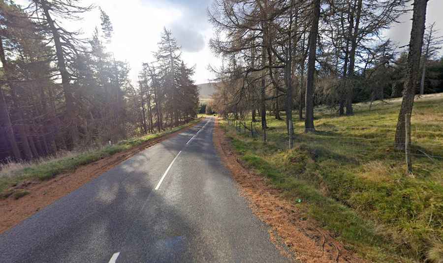
Is the road to Lecht Pass in Scotland paved?
Tucked away in the heart of the Cairngorms National Park, in the Scottish Highlands, the road to the summit is totally paved. It’s called A939 (also known as Lecht Road and Old Military Road). It’s one of the most scenic roads of the country. The road was built after the Jacobite rising of 1745. It was once was an important military road constructed by road builder William Caulfield, an officer in the British Army.
How long is Lecht Pass in Scotland?
The pass is 16.25km (10.1 miles) long, running from Corgarff (in Aberdeenshire) to Tomintoul (in the historic county of Banffshire).The road features steep sections and hairpin turns. It hits a 13% of maximum gradient through some of the ramps.
Is Lecht Pass in Scotland open?
Set high in the Grampian Mountains it’s said to be the snowiest main road in Scotland. The road is typically open all year round, with the occasional closure in winters due to dangerous weather conditions. In fact, it’s regularly the first road in Great Britain closed due to snowfall between Cock Bridge and Tomintoul.