How to drive the steep paved road to Alto de Sao Macario in Portugal?
Alto de São Macário is a mountain peak at an elevation of 1.052m (3,451ft) above sea level, located in the district of Viseu, in Portugal.
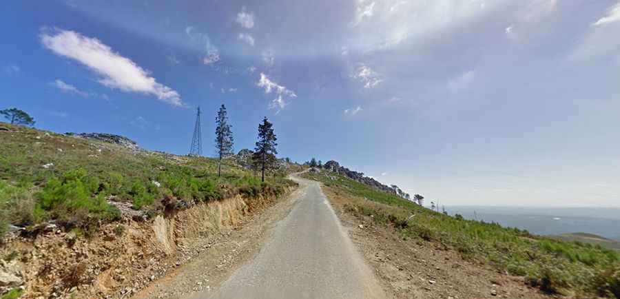
Is Alto de São Macário worth the drive?
Located in the central part of the country, the summit hosts a monastery known as Santuario de São Macário and communication facilities. The summit provides great views of the area, especially when the weather is clear.
Is Alto de São Macário paved?
The road to the summit is totally paved but pretty narrow and very steep, hitting a 14% of maximum gradient through some of the ramps, with many turns. It’s called CM1123. The highest parts of the road, near the summit, have no protections and features dangerous drops.
How long is the road to Alto de São Macário?
Starting at Sul, the ascent is 9.3 km (5.77 miles) long. Over this distance the elevation gain is 812 meters. The average gradient is 8.73%.
Is the road to Alto de São Macário open in winters?
Set high in the Maciço da Gralheira mountain range, the road is open year-round as heavy snow accumulation is uncommon at this altitude. However, winter driving is heavily impacted by intense Atlantic fog banks that reduce visibility to zero.