Take the Scenic N339 and Discover Col de Zezere
Col de Zezere is a high mountain pass at an elevation of 1.615m (5,298ft) above the sea level, located in the district of Castelo Branco, in Portugal. It's one of the highest roads of the country.
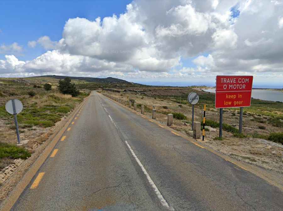
Tucked away in the central part of the country, the road to the summit is totally paved. It’s called N339. Keeping low gears is recommended. Along the way are many viewpoints and lookouts: the drive offers stunning views. The pass is 36.3km (22.55 miles) long, running from Covilhã to Sabugueiro.
Set high in the Serra da Estrela mountain range, the road to the summit is very steep, hitting a 16% of maximum gradient through some of the ramps. Access to the pass is typically open all year round, with the occasional closure in winters due to dangerous weather conditions.