How scenic is the Hardanger National Tourist Route?
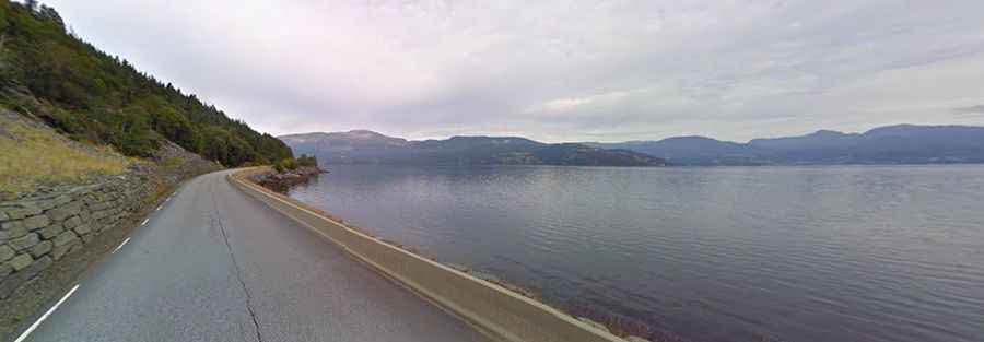
Located in Fjord Norway, the Hardanger National Tourist Route is one of the most scenic drives in the country. It runs along the iconic Hardangerfjord, the second longest and second deepest fjord of Norway.
How long is the Hardanger National Tourist Route?
Located east of Bergen, in the county of Hordaland in Fjord Norway, the road is 158-kilometre-long. The road is fully paved, with some narrow sections, taking you through some impressive scenic fjord landscapes, mountains, waterfalls and glaciers. Hardangerfjord is 180 km long and about 850 meters deep.
Is the Hardanger National Tourist Route open year-round?
The roads are open for traffic throughout the year. The section across the Hardangervidda mountain plateau may be closed for short periods during the winter if the weather is bad.
Hardanger National Tourist Route Facts
Roads: Road 7, Road 49, Road 550, Road 13
Length: 158km
Highest elevation: 275m asl
Ferries: 2
Winter notice: Open to traffic throughout the year. May be closed for short periods in winter when the weather is bad.
Other: Restrictions on the length of buses on County Road 550 between Alsaker and Herand and the maximum length is 12.4 metres.