How to drive the scenic Helgeland Coast National Tourist Route?
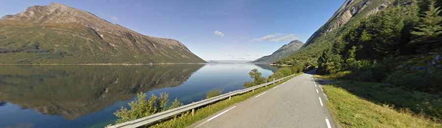
Located in Northern Norway, the Helgelandskysten (FV17/County Road 17) is one of the most scenic drives of the country.
Is the Helgeland Coast National Tourist Route paved?
The road is fully paved and comprises some narrow sections. It runs from Holm to Godøystraumen along the coast.
How long is the Helgeland Coast National Tourist Route?
Located in the county of Nordland to complete the drive there are 6 ferries. It’s 433 kilometres long, including the detour to Torghatten which is also part of the route.
Helgeland Coast National Tourist Route Facts
Roads: Road 17, Road 76, Road 54
Length: 433km
Highest elevation: 346m asl
Ferries: 6
Winter notice: Open to traffic throughout the year. May be closed for short periods in winter when the weather is bad.