The Remote Road to Svalbard Satellite Station: An Arctic Adventure
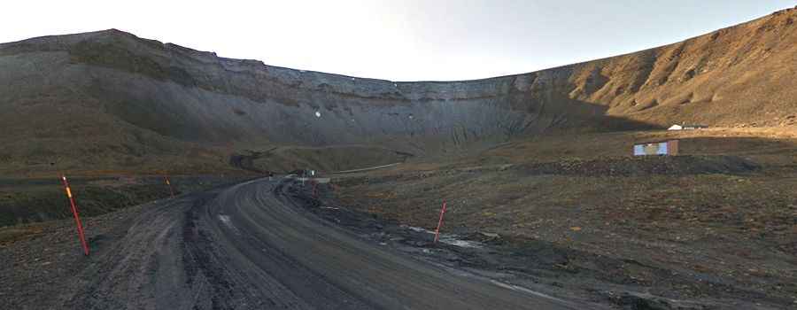
Located in Spitsbergen, the largest island of the Svalbard archipelago in Norway, the Svalbard Satellite Station (SvalSat) sits on the Platåberget mountain plateau, at an elevation of 400 to 500 meters (1,300 to 1,600 ft) above sea level.
Why is Svalbard Satellite Station important?
Established in 1996, SvalSat is today the world’s largest commercial ground station, operated by Kongsberg Satellite Services (KSAT). With more than 100 antennas, it plays a crucial role in global satellite communication.
Thanks to its location at 78° North, SvalSat is the only ground station that can contact polar-orbiting satellites on every orbit—up to 14 times a day. This makes it critical for:
- Earth observation data (climate, weather, and environmental monitoring)
- Disaster response and research
- Supporting international agencies like NASA, ESA, NOAA, JAXA, and EUMETSAT
All operations remain civilian, in compliance with the Svalbard Treaty, and the data is transmitted worldwide via a subsea fiber optic cable connecting Svalbard to mainland Norway.
How long is the road to Svalbard Satellite Station?
The road to the facility is 5.8 km (3.6 miles) long, unpaved, and includes several steep sections. Construction began in 1996, the same year the station was established.
Travelers must be aware of the real danger of encountering polar bears along the way and should always check up-to-date safety information before attempting the route.
What are the weather and safety conditions like?
The access road is regularly affected by the extreme Arctic climate:
- Severe weather can block the route.
- Avalanches and landslides may close the road without warning.
- Always check the weather forecast before traveling.