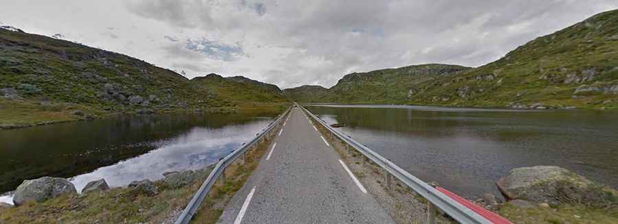
Suleskarvegen is the highest road in the south west of Norway
Suleskarvegen is a very scenic road winding through the mountain regions in the southwestern part of Norway.
Is Suleskarvegen paved?
The Suleskard road is fully paved but very narrow. It is called Fv337. In some places, it is only one lane. The road is quite steep in parts, with a maximum gradient of 12.5% through some of the ramps.
How long is Suleskarvegen?
The road, also known as Suleskardveien, is 41.6 km (25.84 miles) long, running west-east from Suleskard to Rysstad in Aust-Agder county. It is considered one of the best motorcycle routes in Norway, running between fjords and mountains.
Is Suleskarvegen open in winter?
Tucked away in the Setesdalsheiene mountains, it is the highest road in the southwest of Norway, topping out at 1,056m (3,464ft) above sea level. At this elevation, the road is closed for the winter from November 1 to around May 20.