The Road to Hjolmoberget: Norway's Steep Paved Challenge
Hjølmoberget is a high mountain peak at an elevation of 853m (2,798ft) above sea level, located in Vestland county, Norway.
How long is the Road to Hjolmoberget?
Set high in the Hardangervidda National Park, the road to the summit is fully paved but pretty defiant, with 22 sharp hairpin turns. It starts from Øvre Eidfjord, a village situated at the southern tip of the Eidfjordvatnet lake. Spanning a distance of 10.5 km (6.52 miles), the elevation gain is 1,306 meters, and the average gradient is 12.43%.
Is the Road to Hjolmoberget Defiant?
Located in the central-southern part of the country, the road becomes too narrow for two medium-sized cars to pass side by side. Maneuvering and turning can be difficult for standard vehicles, so larger buses with more than 20 seats should avoid this route. Some sections are very steep, with gradients reaching up to 16%.
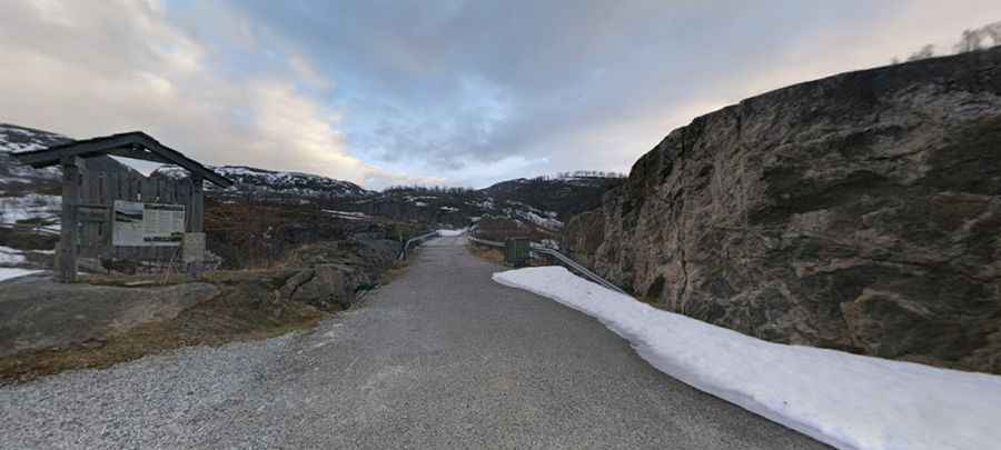
Is the Route to Hjølmoberget Always Open?
Winter conditions can be unpredictable. Road conditions can change rapidly, sometimes requiring snowploughs to clear the path. Adverse weather can occasionally close the road entirely. Winter tires are essential during the colder months.
Is the Climb to Hjolmoberget Worth the Effort?
Yes! The summit has a small parking area that can be crowded on weekends. The journey offers spectacular views, including the stunning Vedalsfossen waterfalls, making the ascent worthwhile.
Pic: Eirik Sæbø