Sognefjell National Route is a scenic mountain road in Norway
Sognefjell National Route is a very scenic road straddling Vestland and Innlandet counties, in Norway. It’s said to be one of the highest mountain roads in Northern Europe and one of the famous scenic drives in Norway.
How long is Sognefjell National Route?
The road (Fylkesvei 55) is totally paved. It's 110 km (70 mi) long, running from Sogndalsfjøra (in Vestland county) to Lom (in Innlandet county). Inaugurated on 16th July 1938, the road is a little narrow at times but mostly fine. This is a windy mountain road with a few white-knuckle hairpin turns.
Is Sognefjell National Route open?
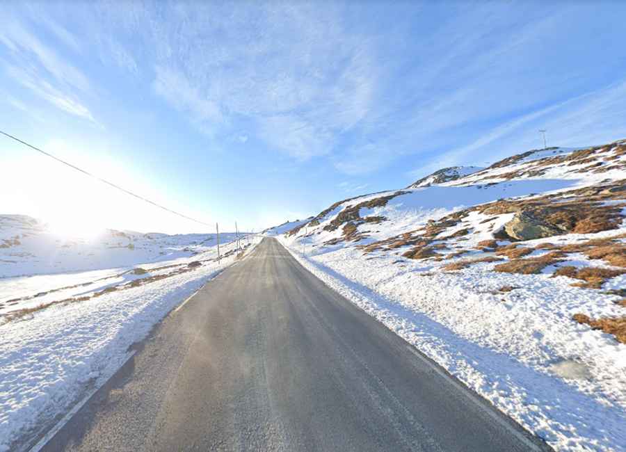
Set high in the Jotunheimen Mountains, the road tops out at Fantesteinen, a mountain pass at an elevation of 1,437m (4,714ft) above sea level. It’s closed from November through May but is snow-ploughed ready for opening around 1st of May. Driving the newly opened road, between banks of snow up to ten meters high, is a wonderful experience. And although summer here is very short, and in the shade, the snow does not melt at all. It can be very windy. The weather may change rapidly at the mountain plateau.
Is Sognefjell National Route worth it?
The road, also known as Sognefjellsvegen or Sognefjellsveien, offers stunning views of jagged peaks and emerald lakes. It has been awarded the status of National Tourist Route because of the spectacular and wild mountain scenery it passes through. If you can, plan this trip with open and sunny weather. Running through the Jotunheimen National Park and Breheimen National Park, the road goes from green fjords to a treeless plateau. Take your time at the top and look for the many hiking trails. Along the route, you’ll be tempted to stop at the viewing points to soak up the beauty of the natural surroundings.
Roads: Road 55
Length: 108km
Highest elevation: 1.437m asl
Ferries: 0
Winter notice: From Liasanden to Turtagrø is normally closed in November and reopens in May.