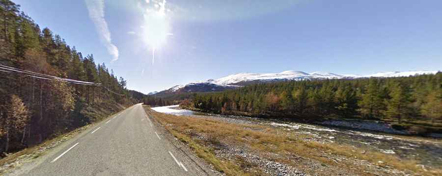
Driving the scenic Rondane National Tourist Route in Norway
Rondane National Tourist Route is a very scenic drive in the county of Hedmark, in Norway. It's one of the famous scenic drives in Norway.

How long is Rondane National Tourist Route?
The route comprises Road 27 and 219. It’s totally paved. The route is 75km (46 miles) long, running south-north from Venabygdsfjellet to Folldal.
Is Rondane National Tourist Route open?
Set high on the central part of the country, the road tops out at 1.064m (3,490ft) above sea level. It may be closed over Ringebufjellet for short periods in winter when the weather is bad.
How long does it take to drive Rondane National Tourist Route?
Running along the eastern border of Rondane National Park, to drive the road without stopping will take most people between 1.5 and 2 hours. The drive offers close encounter with Norwegian nature and there are plenty of places to stop along the way. Along the route, exciting stopping points have been designed for taking breaks, parking for hikes and taking photographs.
Facts:
Roads: Road 27/219
Length: 75km
Highest elevation: 1.064m asl
Ferries: 0
Winter notice: Open to traffic throughout the year. May be closed for short periods in winter when the weather is bad.