Get behind the wheels for North Cape Tunnel, a subsea road tunnel
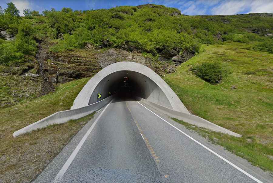
Located in Troms og Finnmark, in Norway, the challenging North Cape Tunnel (Nordkapptunnelen) is a subsea road tunnel.
Where is the North Cape Tunnel?
This tunnel links the island of Magerøya to mainland Norway and hits a 10% of maximum gradient. In both ends of the tunnel there are automatic anti-freezing doors for keeping the cold out, and to avoid the freezing of any leaking water. These gates open automatically when cars approach and are permanently open in the summer, when traffic is denser. They automatically close when the temperatures drop below a certain temperature. At the lowest point there can be fog.
Why is it called North Cape Tunnel?
The tunnel takes its name from the North Cape on the northern shore of Magerøya island.
When was the North Cape Tunnel built?
Built between 1993 and 1999 along with the Honningsvåg Tunnel, the tunnel is 6.8km (4.27 miles) long and reaches a depth of 212m (696 ft) below the sea level. It’s one of the northernmost subsea road tunnels of the country. It was built using drilling and blasting methods through hard rock under the Barents Sea. The tunnels were built to connect the mainland of Norway with the town of Honningsvåg and the tourist attraction at the North Cape.
How long is the road to North Cape Tunnel?
Tucked away in the far northern part of the country, the tunnel carries the paved European route E69, the world’s northernmost highway, under the Magerøysundet strait. The road is 129km (80mi) long running south-north from Olderfjord to Nordkapp (North Cape), the northernmost point of Europe.