Exploring Malta's Majestic Heights: The Road to Dingli Cliffs
Nestled on the western shores of Malta, close to the idyllic village of Dingli, the Dingli Cliffs proudly claim the title of the tallest elevation in the Maltese Islands, soaring at 252m (826 ft) above the sea level.
How do you reach Dingli Cliffs by road?
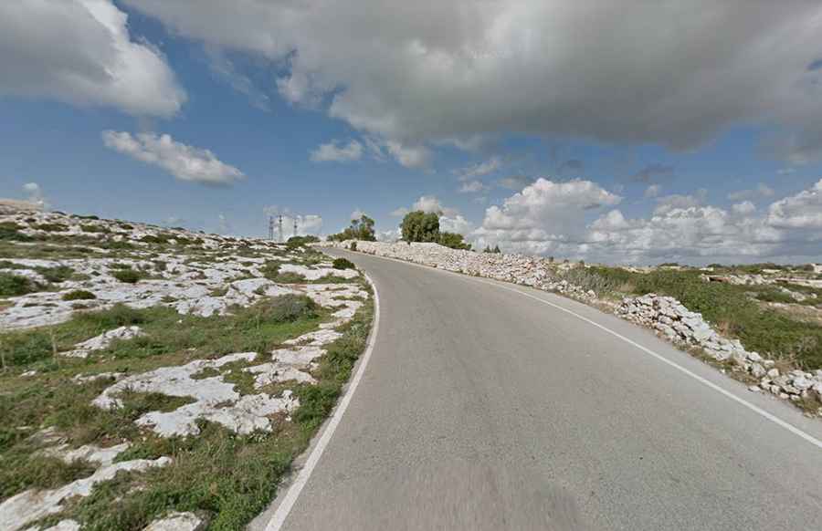
Situated in the Northern Region of Malta, the road leading to the cliffs, known as Triq Panoramika, is fully paved. However, this road is narrow in some sections and contains steep gradients, with some ramps reaching a maximum incline of 12.1%. Driving to Dingli Cliffs, which marks the highest point in Malta, provides panoramic views of the open sea. It can get particularly windy on some days.
Is Dingli Cliffs Malta's highest point?
Yes, the highest point in Malta, Ta’ Dmejrek, which stands at 252m (826 ft) above sea level, is located along the Dingli Cliffs. This summit is home to a radar station. Completed in 1939, the Dingli Cliffs radar station was the first of its kind in Malta. Locally, it's often referred to as the golf ball or "Il Ballun."
Should you make the trip to Dingli Cliffs?
Absolutely. The cliffs are especially enchanting during sunset. They present a majestic sight, not only when viewed from the sea during a boat cruise but also from their summit, which offers breathtaking vistas. From this vantage point, you can overlook the terraced fields below, the vast open sea, and the uninhabited island of Filfla, which was once used as target practice by British soldiers during World War II. As you stroll along the cliffs, you'll come across a charming chapel dedicated to St. Mary Magdalene, perched right on the cliff's edge.