Kneiff: The Access Road to Luxembourg's Highest Point
Kneiff is a hill at an elevation of 560m (1,837ft) above sea level, located in the commune of Troisvierges, in the canton of Clervaux in Luxembourg. At this elevation, it is the highest point of the country.
Where is Kneiff?
The hill is located in the Oesling region, on the Ösling plateau between the villages of Huldange and Wemperhaard, in the northern part of the country, near the tripoint shared with Belgium and Germany.
Is Kneiff the Highest Point of Luxembourg?
Located close to the town of Wilwerdange in the northern Ardennes region, it was not long ago that Kneiff was definitively determined to be the country’s true highpoint.
For a long time, the nearby hill of Buurgplaatz (sometimes spelled Burrigplatz), located just about 1 km away, was mistakenly considered the highest point in the country. This belief was due to the Buurgplaatz elevation being measured at approximately 559 meters (558.35 m, as you noted). There is a tower there, yet, with a sign next to it that still claims it to be the country's summit, preserving the historical error.
The change in title came after a modern, precise digital survey in 1994. Using GPS technology, Luxembourg cartographers confirmed that Kneiff is actually about 1 meter taller than Buurgplaatz. Since 1997, Kneiff has officially held the title, correcting the long-standing record.
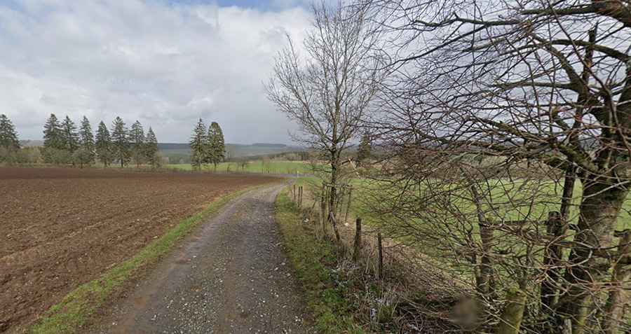
How to Get by Car to Kneiff?
Tucked away in the Ardennes, the road to the summit is mostly paved. Only the final part is unpaved. Starting from the roundabout at Wemperhaard, the drive is 1.4 km (0.86 miles) long. Follow the N7 road towards Huldange for 1 km and take a turnoff to the left for 200m.