Is the road to Rifugio Colverde in the Dolomites too steep for cars?
Rifugio Colverde is a high-mountain hut at an elevation of 1,970m (6,463ft) above sea level, located in the Pale di San Martino group of the Dolomites, Trentino, in Italy. The track to the refuge is a brutal ski resort service route built for the maintenance of the gondola pillars.
| Road facts: Rifugio Colverde | |
|---|---|
| Location | San Martino di Castrozza, Trento, Italy |
| Elevation | 1,970 m (6,463 ft) |
| Length | 2.00 km (1.25 miles) |
| Average Gradient | 23.33% |
| Surface | Unpaved / Coarse Gravel & Stones |
How long is the road to Rifugio Colverde from San Martino?
The climb starts from the parking lot at Via Passo Rolle in San Martino di Castrozza. The track covers a short distance of just 2.00 km (1.25 miles) to reach the mountain hut. Despite its short length, the elevation gain is 466 meters, with an average gradient of 23.33%. The dirt road runs straight through the forest plots, strictly following the lift line of the Colverde gondola.
What are the road conditions on the Colverde service track?
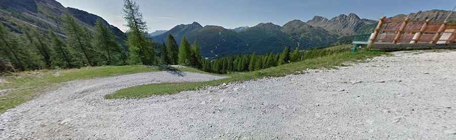
The surface is completely unpaved, consisting of raw earth, large embedded stones, and loose river gravel. The incline is relentless, with steep sections that spike to a 30% gradient under the lift towers. On these steep ramps, tires easily dig into the loose stone layers, making wheel spin common. The track is single-lane wide, with no side protections or wooden barriers on the valley edge.
Why is a 4x4 required for Rifugio Colverde?
Standard two-wheel-drive cars and low SUVs will hit their undercarriage against the high center mounds and rocks. To conquer the 23.3% average incline without destroying the clutch or overheating the transmission, a low-range gearbox is necessary. Heavy all-terrain tires are required to grip the loose gravel on the 30% ramps. Driving down requires low gears to hold the vehicle weight on the short vertical drop.
Is the road to Rifugio Colverde open to the public?
Motorized access to this track is strictly prohibited for the general public by regional environmental laws. The gravel path is blocked by a lower barrier and is reserved exclusively for the 4x4 trucks of the mountain hut owners, ski resort tractors, and heavy maintenance machinery. Hidden under ski runs and deep snow for over seven months, the dirt line is only visible from late June until October.