How to drive the steep road to Genova-Schlüterhütte Refuge?
Rifugio Genova-Schlüterhütte is a high mountain hut at an elevation of 2.304m (7,559ft) above sea level, located in South Tyrol, in Italy.
Where is Genova-Schlüterhütte Refuge?
The hut was built in 1898 and it is open from June to October. It’s located south of Passo di Poma-Kreuzkofeljoch, in the Autonomous Province of Bolzano, in the northern part of the country, within the Puez-Geisler Nature Park.
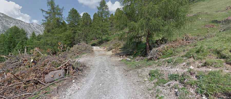
Is the road to Genova-Schlüterhütte Refuge unpaved?
The road to the hut comprises paved and unpaved parts. The asphalt ends at Parcheggio Malga Zannes parking lot. It is pretty steep, with narrow parts running through the forest. A 4x4 vehicle is required beyond the parking lot though the last part is closed to private vehicles.
How long is the road to Genova-Schlüterhütte Refuge?
The road to the hut starts from the village of San Pietro. It’s 19.9 km. The elevation gain is 1.207 meters. The average gradient is 6.06%.
Is the road to Genova-Schlüterhütte Refuge open year-round?
Set high in the Northern Dolomites, the road is blocked by snow in winters and accessibility is largely limited to the summer season.