Is the road to Picco Palù in South Tyrol difficult to drive?
Picco Palù is a high mountain peak at an elevation of 2,490m (8,169ft) above sea level, located in the Italian province of South Tyrol.
| Road facts: Picco Palù (Großer Moosstock) | |
|---|---|
| Location | South Tyrol, Italy |
| Elevation | 2,490m (8,169ft) |
| Length | 10.8 km (6.7 miles) |
| Avg. Gradient | 13.48% |
| Max Gradient | 20% |
Where is Picco Palù?
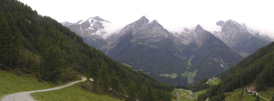
The peak, also known as Großer Moosstock, is located in the northern part of the country, within the rugged Vedrette di Ries – Aurina Natural Park.
Is the road to Picco Palù unpaved?
The road to the summit is totally unpaved and consists of loose gravel and large, jagged stones. It’s a ski resort service road. It’s narrow in parts and very steep. A 4x4 vehicle is required. In the lower sections, the dirt might be packed, but as you climb higher toward 2,490 meters, the surface becomes increasingly rocky and unstable.
How long is the road to Picco Palù?
Starting from Steinhaus (Valle Aurina), the road to the summit is 10.8 km (6.7 miles) long. Over this distance, the elevation gain is 1456 m and the average gradient is 13.48%, but that’s just the average. Many sections hit 20%.
Can I drive the road to Picco Palù year-round?
Set high in the Aurina Valley, this road is only accessible during a very narrow window in late August when the snow finally clears, but even then, a sudden summer storm can turn the dust into a slick, muddy trap. Visibility can also disappear in seconds as alpine clouds roll over the Venediger peaks.
Pic: Viktor Freyer