How to drive the unpaved road to Alpe di Tires?
Alpe di Tires (Tierser-Alpl) is a high mountain peak at an elevation of 2.456m (8,057ft) above sea level, located in the Trentino-Alto Adige/Südtirol region in Italy.
Where is Alpe di Tires?
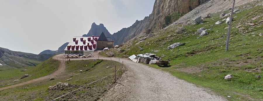
The peak is located on the border between the Autonomous Province of Bolzano-South Tyrol and the Autonomous Province of Trento, in the northern part of the country. At the summit there’s a mountain refuge inaugurated in 1963 known as Tierser-Alpl-Hütte (Rifugio Alpe di Tires).
Is the road to Alpe di Tires unpaved?
The road to the summit is totally unpaved, rocky and steep, with narrow parts. A 4x4 vehicle is required, though a special driving authorization is required.
How long is the road to Alpe di Tires?
Starting from Campitello di Fassa, the road to the summit is 10.8 km long. Over this distance, the elevation gain is 1.006m and the average gradient is 9.31%.
Is the road to Alpe di Tires open year-round?
Set high in the Dolomites mountain range, within the Parco Naturale Sciliar-Catinaccio, the road is totally impassable in winters.