Cimetta Rossa: Driving the High Mountain Trail in Valle d'Aosta
Cimetta Rossa is a mountain peak at an elevation of 2,499m (8,198ft) above sea level, located in the Valle d’Aosta region of northwestern Italy. The route to the summit is primarily used as a service road for local ski infrastructure.
Where is Cimetta Rossa located?
The peak is situated south of Rifugio Dondena in the northwestern Alps. The summit offers visibility of major Alpine peaks, including Mount Cervino (Matterhorn), Mount Rosa, and the local summits of the Champorcher valley, such as Rosa dei Banchi and Mount Glacier.
| Road facts: Cimetta Rossa | |
|---|---|
| Elevation | 2,499 m (8,198 ft) |
| Distance | 13.6 km (8.4 miles) |
| Average Gradient | 7.93% |
| Surface | Unpaved / Rocky gravel |
How long is the road to Cimetta Rossa?
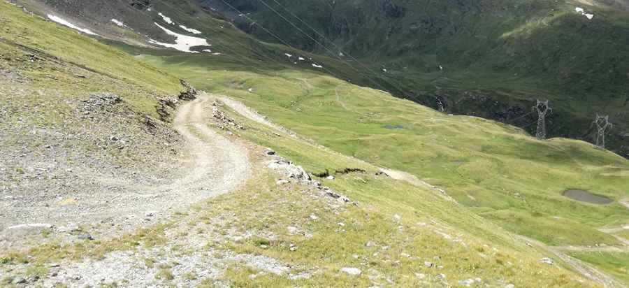
Starting from the town of Champorcher, the ascent is 13.6 km (8.4 miles) long. The road concludes at Laris Superiore. Over this distance, the route gains 1,079 meters of elevation, featuring a consistent climb with an average gradient of 7.93%.
Is the road to Cimetta Rossa unpaved?
Yes, the route is entirely unpaved, consisting of loose stones and rocky sections. It functions as a chairlift access trail and a ski-station service road. Due to the steepness and the surface conditions, a 4x4 vehicle is necessary for navigation.
Is the road to Cimetta Rossa open in winter?
No, the trail is located at high altitude and is part of the local ski area. Accessibility is strictly limited to a narrow window during the summer months, typically around the end of August. During the rest of the year, the track is impassable due to snow and is used for winter sports.
Pic: Francesco Galluccio