A wild road to Mont Fallere in the Pennine Alps
Mont Fallère is a high mountain peak at an elevation of 2,377 m (7,798 ft) above sea level, located in the Valle d’Aosta region, in Italy.
Where is Mont Fallere?
The peak is located in the northwestern part of the country. At the summit, there’s a mountain refuge known as Rifugio Mont Fallere. A minor gravel road north of the mountain hut climbs up to Les Crottes, at 2,404 m (7,887 ft) above sea level.
How long is the road to Mont Fallere?
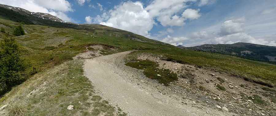
The road to the hut is totally unpaved and comprises many turns and steep sections. A 4x4 vehicle is required. Starting from Vetan, the road is 7.0 km (4.34 miles). Over this distance, the elevation gain is 684 meters. The average gradient is 9.77%.
Is the road to Mont Fallere open?
Set high in the Pennine Alps, the road is usually open from June 20 to September 30. It’s closed to private vehicles.
Pic: Irene Galimberti