How to drive the unpaved road to Punta Chaligne?
Punta Chaligne is a high mountain peak located in the Valle d’Aosta region, in Italy. A gravel road west of the peak, ends at an elevation of 2.311m (7,582ft) above sea level.
Where is Punta Chaligne?
The peak is located in the northwestern part of the country. At the end of the road you can watch most of Aosta Valley.
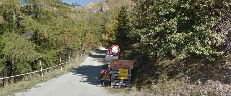
Is the road to Punta Chaligne unpaved?
The road to the summit is totally unpaved. It’s a shelf road pretty narrow and steep. A 4x4 vehicle is required, though it is closed to private vehicles. At this elevation, the road is impassable in winters.
How long is the road to Punta Chaligne?
Starting from a parking lot near Thouraz di Sopra, the road to the summit is 8km long. Over this distance, the elevation gain is 659 m and the average gradient is 8.23%.