Driving the vertical track to Rifugio Helios: A 2.328m climb in the Cottian Alps
The track to Rifugio Helios is an unpaved mountain ascent reaching an elevation of 2,328 meters (7,637 ft) above sea level, located in the Province of Cuneo, in the Piedmont region of Italy. Rising above the village of Maddalena in the Cottian Alps, the route forms part of the high-altitude sector of the SP251 road.
| Road facts: Rifugio Helios (SP251) | |
|---|---|
| Location | Maddalena, Cuneo, Piedmont (Italy) |
| Elevation | 2,328 m (7,637 ft) |
| Length | 5.2 km (3.2 miles) |
| Elevation Gain | 647 m (2,122 ft) |
| Average Gradient | 12.44% |
| Hairpin Turns | 21 switchbacks |
| Surface | Unpaved (Dirt and loose gravel) |
Where is the track to Rifugio Helios?
The track is located in the Cottian Alps near the French border. Starting from the hamlet of Maddalena, the unpaved SP251 climbs the open slopes of the valley toward Rifugio Helios.
How steep is the drive to Rifugio Helios?
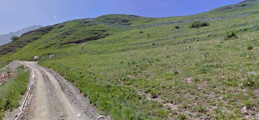
The climb from Maddalena spans 5.2 kilometers (3.2 miles) with an elevation gain of 647 meters, yielding a steep average gradient of 12.44%. The route is entirely unpaved, consisting of fine dirt, loose stones, and deep ruts. The track includes 21 sharp hairpin turns cut into the grassy mountain face with single-lane width throughout.
What hazards exist on the SP251 track?
The single-lane dirt track lacks guardrails along steep slopes. Rain turns the dirt surface muddy, reducing traction on the steep switchbacks. Meeting oncoming agricultural or local vehicles requires stopping or reversing to turnouts. On the sustained 12.4% descent back toward Maddalena, low range gears are necessary to engine brake and prevent brake pads from overheating on the loose gravel surface.
Is the road to Rifugio Helios open year-round?
No. Due to its elevation of 2,328 meters, snow blocks the upper track from October through June. Spring thaws leave washouts and loose rock debris across the 21 hairpins before seasonal clearing takes place.