How to get by car to the scenic Lago Ponton in the Aosta Valley?
Lago Ponton is a high mountain lake at an elevation of 2645m (8677ft) above sea level, located in the Province of Aosta in Italy. It’s one of the highest roads in the country.
Where is Lago Ponton?
The lake is located in the Aosta Valley region, in the northwestern part of the country, within the Urtier Valley, near the Gran Paradiso National Park and the Avic Park.
How to get to Sogno di Berdzè hut?
Near the lake there’s a mountain hut known as Rifugio Sogno di Berdzè. The shelter is no longer open.
Is Lago Ponton worth it?
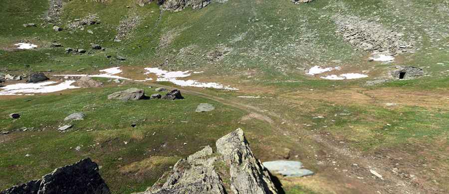
The climb is very scenic, and the landscapes are enchanting. Along the way there are many small waterfalls where hikers can stop to cool off.
Is the road to Lago Ponton paved?
The road to the lake features paved and unpaved sections. The paved road ends at just below 1900 metres. But several times throughout the route, after long, okay-quality rocky stretches, the road would suddenly be paved again. A 4x4 vehicle is required.
How long is the road to Lago Ponton?
The road to the summit is very steep. Starting at Lillaz, the ascent is 13.2 km (8.20 miles) long. Over this distance, the elevation gain is 1021 meters. The average gradient is 7.73%.
Is the road to Lago Ponton open?
Set high in the Graian Alps, a mountain range in the western part of the Alps, the road is closed to heavier and private vehicles. It is usually closed from late October through late June or early July (depending on snow).
Pic: Michael Cortese