Ultimate 4wd destination: Laghi di Cedec
Laghi di Cedèc is a high mountain lake at an elevation of 2.833m (9,294ft) above sea level, located in the Italian province of Sondrio.
Where is Laghi di Cedec?
The lake is located in the Lombardy region, in the northern part of the country, within the Parco Nazionale dello Stelvio.
Is the road to Laghi di Cedec open?
Set high in the Alps, the road is totally impassable in winters. It is open only to authorized vehicles.
Is the road to Laghi di Cedec unpaved?
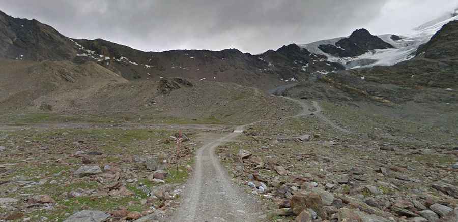
The road to the summit is entirely unpaved. Avoid driving in this area if unpaved mountain roads aren't your strong point. A 4x4 vehicle is required. The surface of the road is really awful for 1.4km beyond Rifugio Pizzini, at 2.706m (8,877ft) above sea level.
How long is the road to Laghi di Cedec?
The road is very steep. Starting from Santa Caterina di Valfurva, the ascent is 11.8 km (7.33 miles) long. Over this distance, the elevation gain is 1,104 m and the average gradient is 9.35%. It’s one of the highest roads in the country.