Forca d'Acero is an Italian iconic climb
Forca d'Acero is a high mountain pass at an elevation of 1,538m (5,045ft) above sea level, located on the boundary between Lazio and Abruzzo regions, in Italy.
Where is Forca d'Acero?
The pass is located in the central part of the country. At the summit, there are many little shops and a bar-restaurant.
Is Forca d'Acero paved?
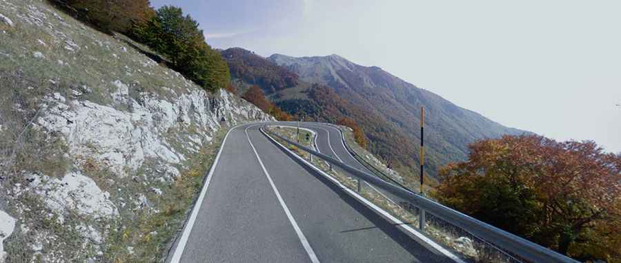
The road to the summit is called SR509. It’s fully paved yet not easy, as it includes some steep sections, up to 10.6%. The climb has been used in the Giro d’Italia race.
How long is Forca d'Acero?
The road through the pass is 37 km (23 miles) long, running north-south from Opi (in the province of L'Aquila in the Abruzzo region) to Atina (in the province of Frosinone, Lazio region).