How to drive the steep Strada Provinciale 256 in Piedmont?
Strada Provinciale della Valle Varaita-SP256 is a high mountain road located in the Province of Cuneo, in Italy.
Where is Strada Provinciale 256?
The road is located in south-west of Piedmont, in the northwestern part of the country, near the French border.
Is Strada Provinciale 256 paved?
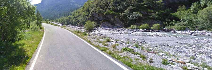
The road is fully paved, yet curvy, with a few narrow parts and hairpin turns. It ends on a parking lot at an elevation of 1.862m (6,108ft) above sea level.
How long and steep is Strada Provinciale 256?
Starting from Casteldelfino, the road is 9.4 km long. Over this distance, the elevation gain is 529m and the average gradient is 5.62%.
How to drive to Colle Marchisa?
South of the parking lot, a minor gravel road leads to the starting point to climb up to Colle Marchisa, ending at 2.465m (8,087ft) above sea level. The road is very rocky, narrow and steep and a 4x4 vehicle is required. It’s closed to private vehicles. Starting from the parking lot at the end of Strada Provinciale 256, the road to the summit is 5.3 km long. Over this distance, the elevation gain is 605m and the average gradient is 11.41%.