Driving a Wild Paved Road to Majelletta in the Abruzzo
Majelletta is a high mountain pass at an elevation of 1,897m (6,223ft) above sea level, located in the province of Chieti, in Italy. The road is very steep, hitting a maximum gradient of 15%.
Where is Majelletta?
The pass is located in the Abruzzo region, in the central part of the country, within the Parco Nazionale della Majella.
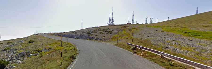
What’s at the summit of Majelletta?
At the summit, there are several communication towers, a big parking lot, and a mountain refuge called Rifugio Bruno Pomilio. It’s the starting point of a paved road to Blockhaus, at an elevation of 2,072m (6,797ft) above sea level.
Is the road to Majelletta paved?
The road to the summit is totally paved in very good condition. It has been improved in recent years. The road features steep sections and 6 hairpin turns. It’s usually impassable from November to April.
How long is the road to Majelletta?
Starting from Cima Mammarosa on the paved Strada Provinciale 64 (SP64), the road to the summit is 3.6 km (2.23 miles) long. Over this distance, the elevation gain is 250 m, and the average gradient is 6.94%.
Why is Majelletta famous?
The climb has been used by the Giro d’Italia race. It was a famous killer climb in the Giro d’Italia of the seventies. Merckx collapsed here one year during an early stage.