How to drive the steep Strada per Preda Rossa?
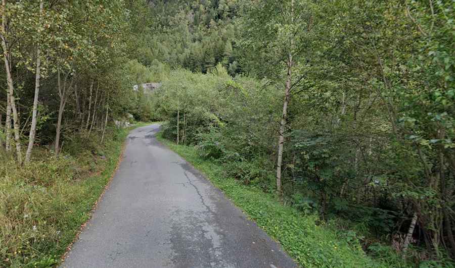
Preda Rossa is a high mountain plateau situated at an elevation of 1,955m (6,414ft) above sea level in the Province of Sondrio, Lombardy (Italy). Access to the plateau is via the Strada per Preda Rossa, a technical mountain route that has undergone significant logistical changes since 1991, when a major landslide destroyed the original infrastructure. Currently, the road is mostly asphalted (with a critical 300m gravel sector remaining) and serves as a demanding climb through the Val Masino, requiring high-torque output and precise braking management.
| Road facts: Strada per Preda Rossa | |
|---|---|
| Location | Sondrio, Lombardy, Italy |
| Elevation | 1,955 m (6,414 ft) |
| Length | 10.9 km (6.77 miles) |
| Average Gradient | 10.71% |
| Max Gradient | 14% |
| Technical Features | 36 hairpin turns |
What are the technical driving specs of the Strada per Preda Rossa climb?
The ascent to Preda Rossa from Cataeggio covers 10.9 km with a significant elevation gain of 1,168 meters. Technically, the road is characterized by its high verticality, maintaining an average percentage of 10.71% and reaching ramps of 14%. Logistically, the route features 36 hairpin turns (tornanti) that are often narrow and require low-gear synchronization. While most of the road was asphalted in 2012, there is still a 300-meter gravel section that can compromise traction for vehicles without adequate tire grip, especially during the descent where the 10.71% incline puts maximum stress on the braking system.
How to manage the 36 hairpin turns of Strada per Preda Rossa?
Driving the 36 hairpins of Strada per Preda Rossa requires a strict gear-selection protocol. Technically, the tight geometry of the turns requires the driver to utilize the full width of the road when traffic allows, although the road is narrow in several sectors. Logistically, the constant shifting and heavy braking on the 10.9 km descent can lead to brake fade. It is a technical necessity to use engine braking extensively to prevent the pads from glazing. The 1,168m elevation gain occurs rapidly, meaning that vehicles with smaller engines may experience thermal stress due to the sustained high-torque requirements of the 10.71% average gradient.
What is the impact of the 1991 landslide on the Preda Rossa logistics?
The original road to Preda Rossa was permanently altered by the 1991 landslide. Technically, the new alignment on the opposite side of the valley was designed to bypass the most unstable geomorphological zones. Logistically, this has resulted in a steeper, more direct climb. The short 300m gravel sector remains a reminder of the terrain’s volatility. Drivers should monitor the road surface for small debris, especially after rain, as the granite walls of the Val Masino are prone to minor rockfalls that can litter the 10.9 km asphalted track leading to the Parcheggio Preda Rossa.
What are the parking and access protocols at the Preda Rossa summit?
At the end of the 10.9 km climb, the road terminates at the Parcheggio Preda Rossa. Logistically, this free parking lot at 1,955m is the final turnaround point, as the plateau is protected and vehicle access beyond this point is prohibited. Technically, the area is subject to high-altitude weather conditions; snow can block the upper sectors of the Strada per Preda Rossa well into late spring. Before attempting the 10.71% climb, it is essential to verify that the vehicle’s cooling system is in optimal condition, as the slow-speed, high-stress nature of the 36 hairpin turns provides limited airflow to the radiator.