How steep is the road to Maso Corto (Kurzras) in Val Senales?
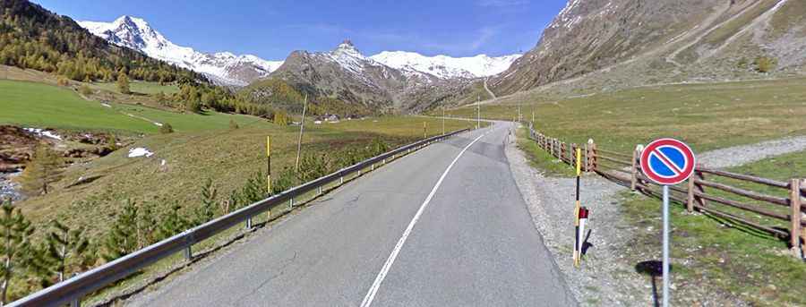
Maso Corto (Kurzras) is a high mountain settlement at an elevation of 2,004 meters (6,574 ft) above sea level, located at the head of the Schnalstal Valley (Val Senales) in South Tyrol, in Italy. Traversed by the paved State Route SS38dir/SP3, the 23.5-kilometer road provides year-round access to the Schnalstal Glacier ski area near the Austrian border.
| Road facts: Maso Corto (Kurzras) | |
|---|---|
| Location | Val Senales (Schnalstal), South Tyrol (Italy) |
| Elevation | 2,004 m (6,574 ft) |
| Route Designation | SP3 / SS38dir |
| Length | 23.5 km (14.6 miles) from Staben (Stava) |
| Maximum Gradient | 12.8% |
| Tunnels & Hairpins | 3 tunnels / 5 hairpin switchbacks near Vernago Reservoir |
| Surface | Fully paved asphalt |
| Key Hazards | Narrow tunnels, tour bus clearance on hairpins, winter ice on 12.8% ramps |
Where is Maso Corto located?
The settlement sits at the northernmost point of the Schnalstal Valley in South Tyrol, near the Ötztal Alps ridge. Starting from Staben (Stava) in the Vinschgau Valley, the 23.5-kilometer paved road follows the Senales stream past the Lago di Vernago reservoir to the glacier cable car terminal at 2,004 meters.
Is the road to Maso Corto paved?
Yes. The entire 23.5-kilometer route is fully paved with two-lane asphalt. The road incorporates 3 narrow tunnels cut into rock faces and 5 tight hairpin switchbacks surrounding the Vernago dam sector.
How long is the drive to Maso Corto?
The climb covers 23.5 kilometers (14.6 miles) from the valley junction at Staben. Driving up the continuous grade with maximum ramps reaching 12.8% takes roughly 30 to 35 minutes.
Is the road to Maso Corto open in winter?
Yes, the road is maintained year-round to serve the glacier resort. Snowpack and ice are continuous from November through April, requiring winter tires or snow chains to negotiate the 12.8% paved ramps. Temporary closures occur during active avalanche clearance operations.