Driving to Forte Pozzacchio: The hidden rock fortress of Valmorbia
Located in the heart of the Leno Valleys in Trentino, the route to Forte Pozzacchio (also known as Werk Valmorbia) is a journey into the last frontier of the Austro-Hungarian Empire. Reaching an elevation of 882m (2,893ft) above sea level, this fortress is a masterpiece of military engineering, entirely excavated into the living rock. Reaching it requires navigating the winding roads of the Vallarsa and transitioning from a modern provincial highway to an ancient military track where the history of the Great War is etched into every stone.
| Road facts: Forte Pozzacchio | |
|---|---|
| Location | Vallarsa, Trentino (Italy) |
| Elevation | 882 m (2,893 ft) |
| Access Road | SS46 del Pasubio / Pasubio Highway |
| Average Gradient | 7.92% |
| Final Access | Gravel track (Foot access only) |
How to drive the SS46 to the Pozzacchio fortress?
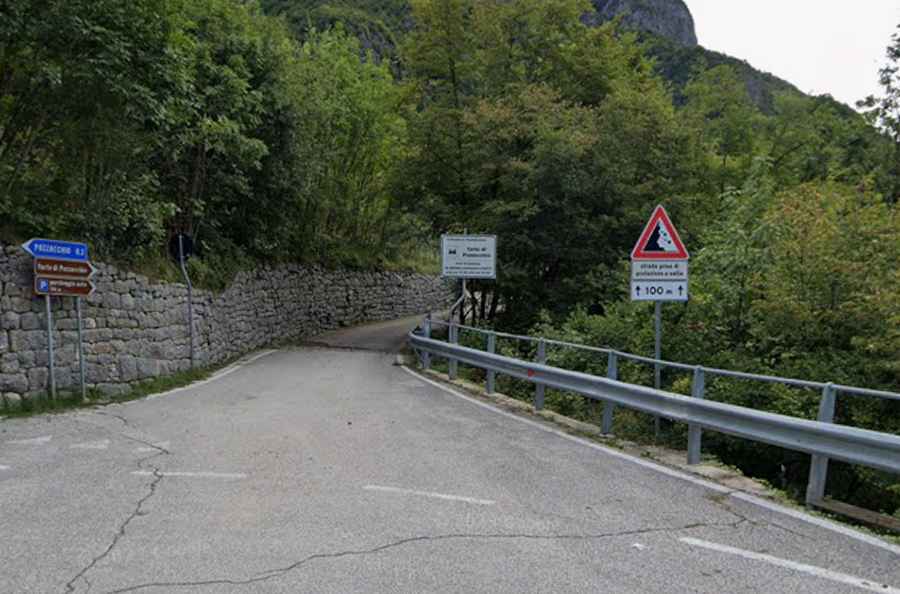
The drive toward Forte Pozzacchio starts from Rovereto, following the SS46 del Pasubio for about 12 km through the narrow and deep Leno Valleys. This paved section is a classic Alpine road, demanding focus due to the constant presence of local furgonetes and heavy tourist traffic heading toward the Pasubio peaks. Near the village of Pozzacchio, you must watch for the last hairpin turn (tornante) to the left; right at this bend, a narrow detour breaks off to the right. This small road leads to the designated parking area. The asphalt here is tight, and the elevation gain over the 4.1 km ascent from the valley floor averages a steady 7.92%, putting a constant load on your engine.
What is the history behind the Werk Valmorbia rock tunnels?
Forte Pozzacchio was designed as the most modern war machine of the Danubian Monarchy. Construction began in 1913, intended to seal the border with the Kingdom of Italy, but the breakout of WWI meant the fortress was never truly finished. Unlike other forts, Pozzacchio is literally a hollowed-out mountain. Its tunnels, artillery positions, and barracks were all blasted into the rock, making it nearly invulnerable to the heavy bombing it suffered during the conflict. After being abandoned by the Austro-Hungarians in 1915 and occupied by Italian soldiers, it changed hands multiple times. Today, although stripped of its metal armaments, the scale of the rock-cut infrastructure remains a grim reminder of Cold War precursors in the Italian Alps.
What are the final logistical steps to reach the summit?
Once you reach the end of the motorized road at the parking lot, the logistics shift. The final 1.4 km of the ancient military road is unpaved and strictly closed to motorized vehicles. To reach the entrance of the fort, you must proceed on foot along this gravel path, a walk that takes approximately 15 to 20 minutes. This track was built for the transit of heavy cannons and munitions, so the gradient remains manageable but the ground is rocky and uneven. On the descent back toward the SS46 in your vehicle, use heavy engine braking to manage the 325-meter drop. The sharp turn back onto the main highway is a blind spot; always check for oncoming motorcycles before rejoining the flow of the Vallarsa transit.