How to drive the hairpin turns to Presolana Pass in Bergamo?
Passo della Presolana is a mountain pass at an elevation of 1.297m (4,255ft) above sea level, located in the Province of Bergamo, in Italy.
Where is Presolana Pass?
The pass, also known as Giogo della Presolana, is located in the region of Lombardy, in the northern part of the country.
Is the road to Presolana Pass paved?
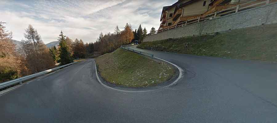
The road to the summit is fully paved yet defiant with several hairpin bends and pretty steep sections, hitting a 14% of maximum gradient through some of the ramps. It’s called Strada Statale 671 (SS671).
How long is Presolana Pass?
The road through the pass is 20km long, running south-north from Rovetta to Dezzo di Scalve. It has been featured in the Giro d’Italia race.
How steep is the road to Presolana Pass?
Starting from Dezzo di Scalve, the ascent is 7.95 km long. Over this distance, the elevation gain is 548 meters. The average percentage is 6.9 %. And starting from Rovetta, the ascent is 11.95 km long. Over this distance, the elevation gain is 651 meters. The average percentage is 5.4 %.