How to drive the steep road to Colle San Zeno?
Colle San Zeno (also known as Colma di San Zeno) is a mountain pass at an elevation of 1,434m (4,704ft) above sea level, located in the province of Brescia, Lombardy, Italy. Logistically, the pass serves as a demanding asphalted link between Pisogne (on Lake Iseo) and Pezzaze in Val Trompia. The road, designated as Via Case Sparse Mondaro, is characterized by its technical narrowness and significant vertical gain.
| Road facts: Colle San Zeno | |
|---|---|
| Location | Brescia, Lombardy, Italy |
| Elevation | 1,434 m (4,704 ft) |
| Length | 23.9 km (14.8 miles) |
| Hairpin Turns | 34 |
| Max Gradient | 13% |
What are the technical road conditions to Colle San Zeno?
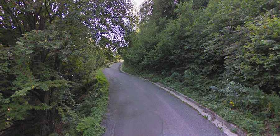
The 23.9 km ascent from Pisogne is a high-frequency steering operation. Technically, the road is fully asphalted but remains extremely narrow, often restricted to a single lane. While the surface is in excellent condition, short sectors feature potholes that require caution. The most critical logistical hazard is the lack of visibility on the 34 sharp hairpin turns. Drivers must be prepared for a "stop-and-yield" protocol, as passing oncoming traffic is technically impossible on many stretches without utilizing the few available gravel shoulders.
How to manage the 34 hairpin turns of the Via Case Sparse Mondaro?
Navigating the Via Case Sparse Mondaro requires disciplined lane positioning. Technically, the 34 hairpins are tight and steep, particularly on the initial sectors from Lake Iseo. Logistically, the route involves sustained gradients of 9-10%, with ramps hitting 13%. For heavy vehicles or motorbikes, managing brake temperatures during the 23.9 km descent is essential. The road is bordered by dense forest and open pastures, but the lack of safety barriers in the upper sections increases the technical risk during periods of low visibility or alpine fog.
What logistical services are available at the summit of Colle San Zeno?
At the 1,434m summit, the primary logistical landmark is the Rifugio Piardi al Colle San Zeno. This facility serves as the only service point after the long climb from the valley. Technically, the summit area is a plateau that offers limited parking, primarily utilized by hikers and cyclists. Logistically, the pass is a popular route for local mountain testing due to its technical layout, but it remains a low-traffic corridor compared to the larger Alpine passes. In winter, despite the asphalt, the road is subject to rapid ice formation, and the use of winter tires is a mandatory technical protocol.
Is the road to Colle San Zeno open year-round?
Logistically, Colle San Zeno is usually open year-round, but closures due to heavy snowfall are common between December and March. Technically, there is localized snow removal to allow access to the Rifugio, but the narrowness of the Via Case Sparse Mondaro makes snow-clearing operations difficult. Drivers should verify the weather conditions in the Brescia province before departure. The 23.9 km transit requires approximately 45-60 minutes of high-concentration driving due to the constant maneuvering required to clear the 34 hairpins and manage the narrow lane width.
What technical routes start from the Colle San Zeno summit?
Logistically, the summit of Colle San Zeno acts as a starting point for more extreme high-altitude tracks. The most significant technical offshoot is the unpaved service road to Colma di Marucolo. This 3.8 km track starts near the Rifugio Piardi and climbs to an elevation of 1,857m. Technically, the transition from the asphalt of the pass to the Colma di Marucolo 4x4 track involves a radical change in driving requirements, shifting from a narrow paved road to a deeply rutted dirt path with an 11.39% average gradient. This logistical connection is only recommended for high-clearance 4WD vehicles equipped for technical mountain terrain.