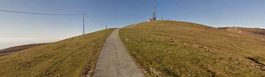
A narrow-paved road to the top of Passo Mariech
Passo Mariech is a high mountain pass at an elevation of 1.504m (4,934ft) above sea level, located in the Province of Treviso of Italy.
Where is Passo Mariech?
The pass is located east of Monte Cesen da Valdobbiadene, in the region of Veneto, in the northeastern part of the country. The summit hosts a weather station, and a Monument to the Fallen of the Mount Cesen. There is a place to eat and sleep here, Malga Mariech.
Is the road to Passo Mariech paved?
The road to the summit is fully paved, but pretty narrow and steep, impassable for 2 cars at the same time. It’s called Strada Mariech. The road hits 11-12% of gradient through some of the corners.
How long is the road to Passo Mariech?
Starting from Valdobbiadene, the ascent is 18,1 km (11.24 miles) long. Over this distance the elevation gain is 1.250 meters. The average gradient is 6.9%.
Is the road to Passo Mariech open in winters?
Set high in the Prealpi Venete range, the road is usually open year-round.