How to drive the paved road to Caval di Novezzia?
Caval di Novezzia is a high mountain pass at an elevation of 1.553m (5,095ft) above sea level, located on the boundary between Veneto and Trentino-Alto Adige regions, in Italy.
Where is Caval di Novezzia?
The pass, also known as Malga Novezza and Passo Cavallo, links the Province of Verona (Veneto region) and the Autonomous Province of Trento (Trentino-Alto Adige region), in the northern part of the country.
Is Caval di Novezzia paved?
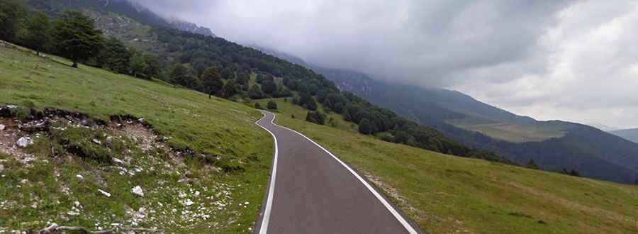
The road to the summit is called Strada Provinciale 8 (SP8), also known as Strada del Graziani. It’s fully paved yet steep and narrow, with 35 hairpin turns (10 sharp hairpin turns near the summit). It's closed to vehicles heavier than 18Tn.
How long is Caval di Novezzia?
The road through the pass is 22km long, south-north from Caprino Veronese to the Trentino-Alto Adige region border.
Is Caval di Novezzia open in winters?
Set high in the Italian Alps, the road is open year-round.