How to drive the scary road to Col Visentin in Treviso?
Col Visentin is a high mountain peak at an elevation of 1.764m (5,787ft) above sea level, located in the Province of Treviso, in Italy. The road to the summit is, probably, the scariest drive in the province.
Where is Col Visentin?
The peak is located in the region of Veneto, in the northeastern part of the country. It’s one of the highest peaks of Trevisan prealps.
Why is there a road to Col Visentin?
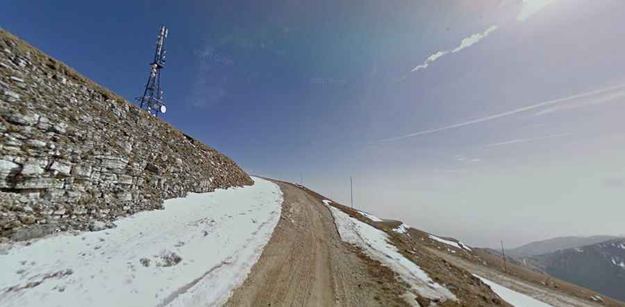
The road was built to serve some antennas and a mountain refuge known as Rifugio Col Visentin at the summit. It offers panoramic views: the highest peaks of the Dolomites (north) and Venice on the Adriatic coast (south).
Is the road to Col Visentin difficult?
The road to the summit is scary and definitely not for anyone suffering from vertigo due to its dangerous drops unprotected by guardrails. It’s called Via del Col Visentin. It comprises narrow parts, very steep sections and 27 hairpin turns.
How long is the road to Col Visentin?
Starting from Revine, the road to the summit is 17.6 km long. Over this distance, the elevation gain is 1588 m and the average gradient is 9.02%.
Is the road to Col Visentin paved?
The first 14 km of the road are fully paved, with the asphalt ending at a parking lot at Forcella Zoppei, a mountain pass at an elevation of 1,420 m (4,658 ft) above sea level. From this point, the final 3.3 km turn into an unpaved track with narrow lanes and sheer, unprotected vertical drops.