How to drive the challenging mountain road to Colle Pian Fum in Piedmont
Colle Pian Fum is a high mountain pass at an elevation of 1,999 meters (6,558 ft) above sea level, located in the Province of Turin, in Italy.
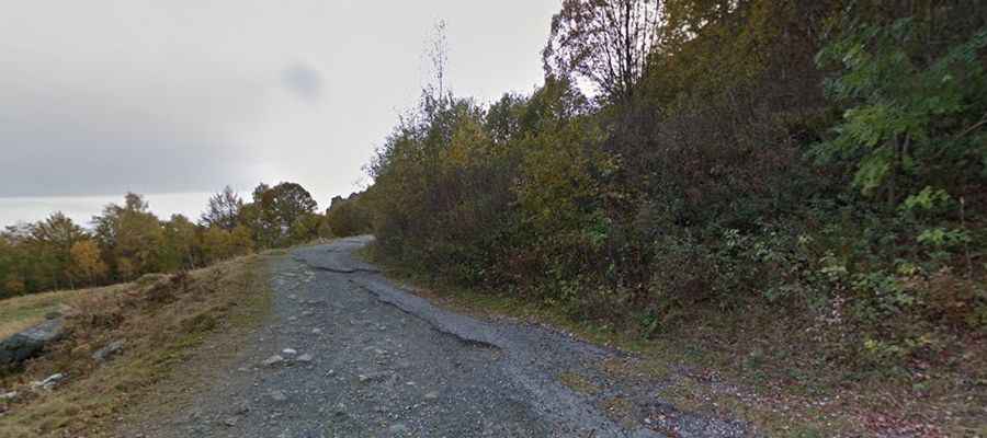
| Road facts: Colle Pian Fum | |
|---|---|
| Location | Province of Turin, Piedmont, Italy |
| Elevation | 1,999 m (6,558 ft) |
| Length | 7.3 km (4.5 miles) from Tornetti |
| Elevation Gain | 600 m |
| Average Gradient | 8.21% |
| Surface | Broken asphalt / Potholes and gravel patches |
Where is Colle Pian Fum?
The pass is located in the Piedmont region, in the northwestern part of the country, near the French border. At the summit there’s a small chapel, known as Cappella di San Michele.
How long is the road to Colle Pian Fum?
Starting from Tornetti, the road to the summit is 7.3 km long. Over this distance, the elevation gain is 600 m and the average gradient is 8.21%. It features 20 tight hairpin turns.
Is the road to Colle Pian Fum paved?
The narrow road to the summit combines standard mountain asphalt and a degraded, broken track. While the lower section has standard pavement, the higher altitude track is heavily degraded, full of deep potholes and loose gravel. The road narrows down to a single lane without center markings. The track lacks safety barriers.
Is the road to Colle Pian Fum open year-round?
Set high in the Graian Alps, the road is usually open year-round. Sudden mountain fog frequently blocks visibility across the hairpins, and the narrow lanes are often obstructed by fallen limestone rocks or sudden dirt washouts.