How to drive the military road to Forte Foens in the Italian Alps?
Forte Foens is a high-altitude military fortress reaching an elevation of 2,186m (7,171ft) above sea level in the Province of Turin, within the Piedmont region of Italy. Built between 1897 and 1899, this battery was part of a strategic defensive line along the southern slopes of the Jafferau massif. Today, the road to the fort is a demanding unpaved track that connects with the legendary Monte Jafferau and the Colletto Pramand, offering one of the most technical and historical driving experiences in the Graian Alps.
| Road facts: Forte Foens | |
|---|---|
| Location | Bardonecchia, Piedmont (Italy) |
| Elevation | 2,186 m (7,171 ft) |
| Length | 11.3 km (7 miles) from Bardonecchia |
| Average Gradient | 8.34% |
| Status | Partially blocked / Landslide risk |
What is the current condition of the road from Bardonecchia to Forte Foens?
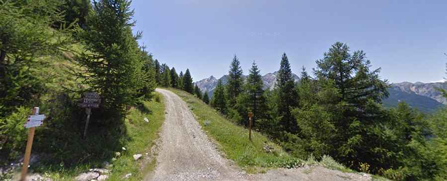
The traditional ascent from Bardonecchia covers 11.3 km (7 miles) with an elevation gain of 943 meters and features 18 sharp hairpin turns. However, recent reports from the field indicate that the main military road from Bardonecchia is currently closed due to severe landslides. The track in this sector has become extremely narrow, making it impassable for most 4x4 vehicles and only just manageable for experienced mountain bikers. If you are planning to reach the 2,186m summit, you must seek the alternative route: continue past the Savoia Hotel on the asphalt road and look for the forest track that leads up the mountain. This bypass is essential to avoid the unstable sections where the cliffside has collapsed onto the original 1897 military track.
What are the hazards of driving the Strada Militare 79?
The road to Forte Foens is an old military track that was never designed for civilian comfort. It is entirely unpaved, consisting of loose shale and sharp alpine rocks that can easily puncture standard tires. The average gradient of 8.34% is relentless, and when the surface is wet, it becomes dangerously slippery, increasing the risk of sliding on the 18 hairpin turns. The most significant hazard remains the structural instability of the slopes; landslided sections are common, and the road can become "hairy" and extremely narrow near the drop-offs. A high-clearance 4x4 with low-range gearing is mandatory to navigate the steep ramps and the debris that often litters the path after a storm.
Is Forte Foens accessible during the winter months?
Like most high-altitude military roads in the Piedmont region, the track to Forte Foens is strictly seasonal. It is usually buried under heavy snow from October to June, making the 11.3 km climb impossible. Even in early summer, large snowbanks can block the hairpins, forcing drivers to attempt dangerous U-turns on narrow ledges. Sudden thunderstorms are frequent in the Bardonecchia basin, and a rapid drop in temperature can turn the dust into mud or ice in minutes. Given the current landslide situation, attempting this road during or after heavy rain is extremely risky, as the terrain remains unstable and prone to further collapses.
What mechanical history can be found at the Föens Battery?
Built as a strategic rectangular building between 1897 and 1899, the Föens Battery once housed four mortar emplacements on its roof and two cannons lower down. Today, the battery emplacements and the "riservetta" (ammunition room) are still visible and in relatively good condition, though the casemate and surrounding defensive walls are partially destroyed. Inscriptions left by soldiers can still be found near the main entrance. Reaching these ruins is a tribute to the military engineering of the 19th century, but it requires a vehicle in top mechanical shape. The constant vibration of the 11-kilometer rocky ascent will test your suspension and cooling system, so ensure you are fully self-sufficient before leaving the asphalt near Bardonecchia.