What you need to know about the 4x4 track to Forcella d’Entova
Forcella d’Entova is a high mountain pass at an elevation of 2.802m (9,192ft) above sea level located in the Province of Sondrio in the Italian region Lombardy.
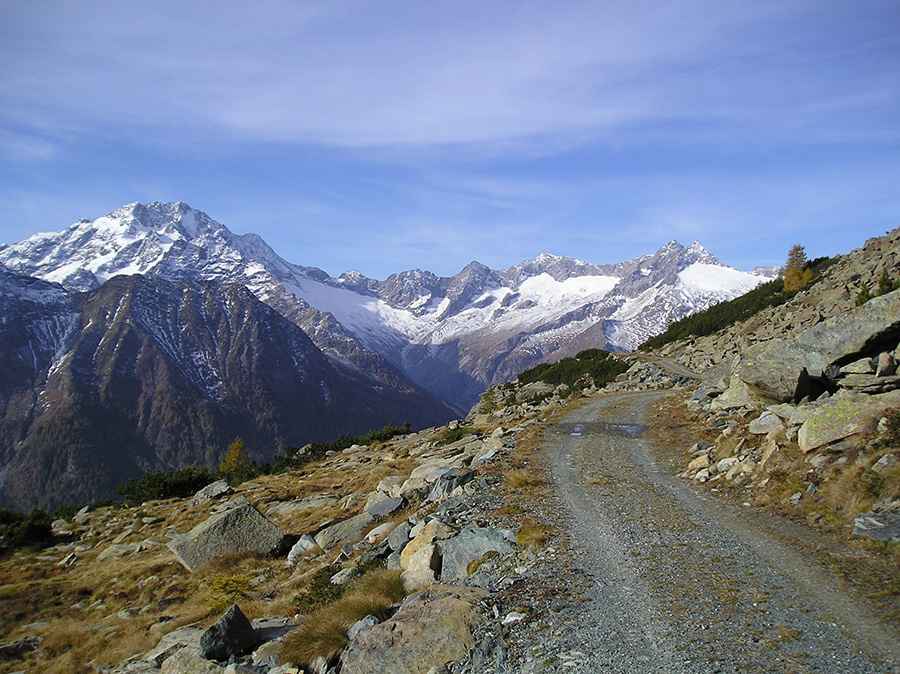
Is the road to Forcella d’Entova unpaved?
The road to the summit is extreme. 4x4 vehicles with high clearance only. It’s very narrow, with deep washouts and loose gravel. The road gets worse progressively, with stones, rocks and landslides. This track can get very muddy and slippery after rain. It was built for a ski station that was never constructed.
How long is the road to Forcella d’Entova?
It's one of the highest roads of the country. Starting from San Giuseppe, the ascent is 11.9 km (7.39 miles) long. Over this distance, the elevation gain is 1203 m. The average gradient is 10.10%. The road hits a 10% of maximum gradient through some of the ramps.
Is the road to Forcella d’Entova open?
Set high in the northern part of the country, the road is blocked to private vehicles with a barrier. Impassable from September to June. There are several mountain refuges near the summit.
Pic: fabrizio boscacci