The Challenging Road from Prato to Uccea via the Historic Sella Carnizza Pass
Sella Carnizza is a mountain pass at an elevation of 1,123 m (3,684 ft) above sea level, located in the Province of Udine, in the Friuli-Venezia Giulia region of Italy.
Where is Sella Carnizza Pass?
Set high in the Uccea Valley within the Parco Naturale Regionale delle Prealpi Giulie, in the northeastern part of the country, near the border with Slovenia, the pass is located in a scenic and remote area.
When was the road to Passo Sella Carnizza built?
It’s an old military road built in 1916. At the time of the First World War, this road already allowed the transit of tractors and trucks.
Is the road to Passo Sella Carnizza challenging?
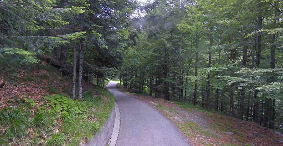
The winding road to the summit, also known as Prelaz Karniza, is fully paved yet highly demanding. It is characterized by nine sharp hairpin turns, extremely steep inclines that reach a maximum gradient of 23.5%, and narrow sections that make the road impassable for two cars simultaneously. Its surface, occasionally damaged by potholes, adds an extra layer of challenge to the drive. The route is overflowing with curves, requiring constant vigilance to avoid collisions due to its narrowness. It is crucial to note that the road is closed to long vehicles due to its challenging topography. Furthermore, the presence of falling rocks adds to the adventurous nature of this drive, necessitating careful navigation.
How long is the road to Passo Sella Carnizza?
The road is 15.6 km (9.69 miles) long, running from Prato (on Strada Provinciale 42) to Uccea (on Strada Regionale 646, on the Slovenian border), through dense deciduous forests. The summit hosts a small chapel: Cappella di Slimanciaza. The road is usually impassable in the winter months.