Col dei S'Cios: Driving the scenic Strada della Dorsale in Pordenone
Located in the Province of Pordenone, within the Italian region of Friuli-Venezia Giulia, Col dei S'Cios is a high mountain pass reaching an elevation of 1,342m (4,402ft) above sea level. This pass is part of a rugged mountain range that overlooks the Venetian plains, offering a technical drive through a landscape of high-altitude pastures and limestone outcrops.
| Road facts: Col dei S'Cios | |
|---|---|
| Location | Pordenone, Friuli-Venezia Giulia, Italy |
| Elevation | 1,342 m (4,402 ft) |
| Length | 20.8 km (12.9 miles) |
| Road Number | Strada della Dorsale Interna del Cavallo (CAI 991a) |
| Hairpin Turns | 7 |
Where is Col dei S'Cios?
The pass is situated in the northeastern part of Italy, in the southern reaches of the Carnic Prealps. The road that crosses it is officially known as the Strada della Dorsale Interna del Cavallo (also marked as CAI n.991a). Near the summit, travelers can find the Rifugio Maset, a mountain refuge that serves as a key landmark for those navigating this isolated ridge. The area is highly prized for its silence and wide-open views, standing in stark contrast to the busy ski resorts nearby.
Is the road to Col dei S'Cios paved?
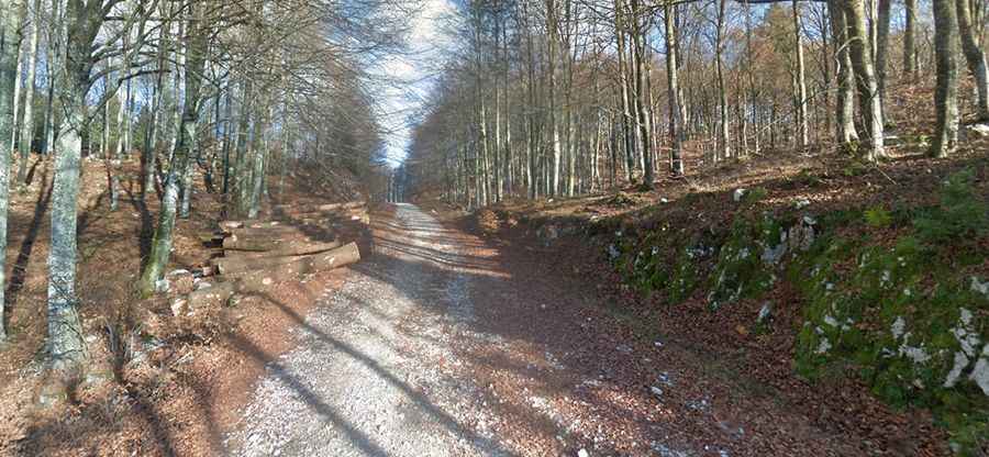
The road to the summit is a hybrid track that changes character along its route. It is mostly gravel, but it features several concrete sections, particularly on the northern side, designed to provide traction on the steeper gradients. The surface can be rough in places, with loose stones typical of the Friulian mountains. While it is a breathtaking road, it requires a vehicle with decent ground clearance. The concrete slabs can be slippery when wet or covered in morning frost, so precise speed management is essential when navigating the narrower stretches along the mountainside.
How long is the road through Col dei S'Cios?
The road through the pass is 20.8 km (12.9 miles) long, running in a north-south direction. The route connects the alpine resort of Piancavallo (Province of Pordenone) with the paved SP61 road. This long-distance mountain track is pretty curvy and includes 7 sharp hairpin turns that test the vehicle's maneuverability. Because it follows a high-altitude "dorsale" (ridge), the road offers constant elevation changes, and its nearly 21 kilometers of length make it a significant undertaking that requires a full tank of fuel and proper mechanical preparation, as there are no services once you leave the main settlements.
Is the road to Col dei S'Cios open in winter?
Due to its elevation and exposed position on the ridge, the road is subject to harsh weather. It is usually impassable during the winter months due to snow and ice accumulation on the unpaved and concrete sections. The "Strada della Dorsale" is typically clear for 4x4 vehicles from late May to October. Even in summer, the wind can be quite strong on the ridge, and sudden thunderstorms can make the gravel sections difficult to navigate. Always check the local weather conditions in Pordenone before attempting this long high-mountain traverse.