A sensational paved road to Misurina Pass
Passo di Misurina is a high mountain pass at an elevation of 1,756m (5,761ft) above sea level, located in the Province of Belluno, Italy.
Where is Misurina Pass?
The pass, also known as Col Sant'Angelo, is located in the Veneto region, in the northern part of the country. At the summit, there’s a famous lake called Lago di Misurina. It's also known as the "Pearl of Cadore" because of its crystal clear waters and picturesque mountain scenery. It’s a popular tourist destination, featuring hotels and restaurants.
Is the road to Misurina Pass paved?
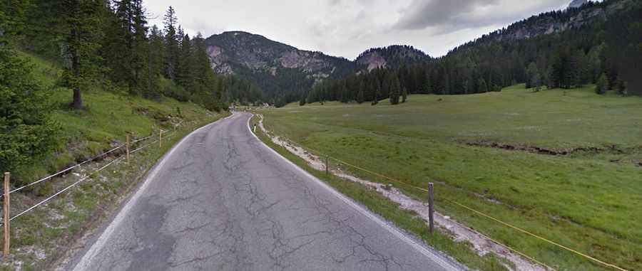
Tucked away in the Dolomites-Alps, the road to the summit is fully paved. It’s called Strada Provinciale 49 di Misurina (SP49).
How long is the road to Misurina Pass?
The pass is 8.7 km (5.40 miles) long, running south to north from the SR48 road to Carbonin (Schluderbach). The road is accessible year-round but may be closed for short periods in winter due to severe weather conditions.