How to drive the iconic road to Oclini Pass in the Dolomites?
Passo di Oclini is a high mountain pass at an elevation of 1,995m (6,545ft) above sea level, located in the Trentino-Alto Adige/Südtirol region of Italy.
Where is Passo di Oclini?
The pass, also known as Oclini – Jochgrimm, is located in the Autonomous Province of Bolzano–South Tyrol in the northern part of the country, within the Val di Fiemme.
What’s at the summit of Passo di Oclini?
The summit hosts a ski resort, hotels, and a big parking lot.
How long is the road through Passo di Oclini?
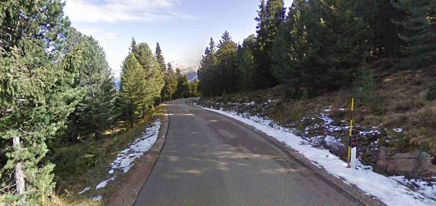
The road through the pass, known as Via Lavaze, is 9.8 km (6.08 miles) long, running east-west from Passo di Lavaze to Stadt.
Is the road through Passo di Oclini paved?
The road is fully paved from the start to the pass. Beyond the summit, on its western side, the road is gravel. The road condition of the entire pass is a bit bumpy and the traffic is moderate. It has very steep parts, hitting a 9% maximum gradient through some of the ramps.
How steep is Passo di Oclini?
Starting at Passo di Lavaze, the ascent is 3.6 km (2.23 miles) long. Over this distance, the elevation gain is 187 meters. The average gradient is 5.19%.
Is the road through Passo di Oclini open in winter?
Set high in the Dolomites, the road is usually open year-round, with short-time closures in winter.