The Road to Rifugio Cornisello in the Alps is Not for Timid Drivers
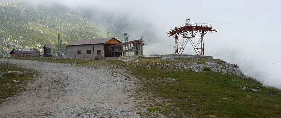
Rifugio Cornisello is a high mountain refuge at an elevation of 2,160m (7,086ft) above sea level, located in the Trentino-Alto Adige/Südtirol region of Italy. It’s known as one of the most challenging drives in the country.
Where is Rifugio Cornisello?
The refuge is situated below Laghi di Cornisello, a lake in the northeastern part of Italy, within the Parco Naturale Adamello Brenta Geoparco.
When was the road to Rifugio Cornisello built?
The road through Val Nambrone was built in the 1950s to enable the construction of a dam near the Cornisello lakes. It’s the highest paved road in the area, ending in a parking lot at the summit.
Is the road to Rifugio Cornisello open in winter?
Set high in the northern Italian Alps at the foot of Monte Giner, the road to the refuge is typically impassable from October to June due to snow and harsh conditions.
Is the road to Rifugio Cornisello paved?
The winding road, which has 17 hairpin turns, is mostly paved but very narrow. The final stretch is unpaved and challenging, with some rough patches. The road surface is fair, but water and potholes can appear at any time. Midway up the climb, there’s an unlit one-lane tunnel that’s known to be extremely intimidating. Guardrails protect only the most dangerous curves.
How long is the road to Rifugio Cornisello?
Starting from the SS239 road in Sant'Antonio di Mavignola, at 1,077m above sea level, the road to the refuge is 12.3 km (7.64 miles) long, with an elevation gain of 1,109m. The average gradient over this distance is 9.01%.
Is the road to Rifugio Cornisello worth the drive?
The road can be very busy, and inexperienced drivers add to the danger. However, the drive is well worth it for the stunning views of the Brenta Group. There are several mountain refuges along the way for rest and exploration.
Pic: Maurizio Campi