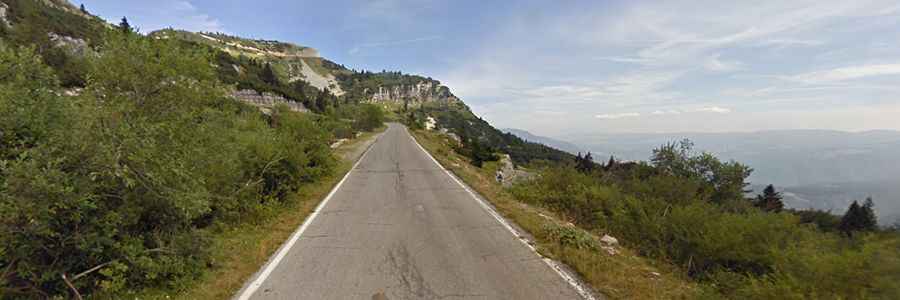
The paved road to Valbona Pass in the Venetian Prealps
Passo Valbona is a high mountain pass at an elevation of 1,781m (5,843ft) above sea level, located in the Province of Vicenza, in Italy.
Where is Valbona Pass?
The pass, also known as Valico di Valbona and Forcella Valbona, is located in the Veneto Region, in the north-eastern part of the country.
Is Valbona Pass paved?
Set high in the Venetian Prealps, a mountain range in the south-eastern part of the Alps in Triveneto, the road to the summit is totally paved. It’s called Strada Provinciale 92. This is the most southern asphalted +1700m pass climb in this part of the Alps. It’s a rather impressive drive, with turns and hairpins, tunnels, and steep sections, up to 11.0%.
How long is Valbona Pass?
The pass is 7.7 km (4.78 miles) long, running east-west from Strada Provinciale 64 to the boundary with the Autonomous Province of Trento in Trentino-Alto Adige/Südtirol. A minor unpaved road, north of the pass, climbs up to Forte Campomolon, at an elevation of 1,848m (6,062ft) above sea level. The unpaved road to the summit is closed to private vehicles.