Rifugio Angelo Bosi: Driving the brutal 29% ramps of Monte Piana
The road to Rifugio Angelo Bosi al Monte Piana is one of the most extreme vertical challenges in the Italian Dolomites. Reaching an elevation of 2,212m (7,257ft) above sea level in the Province of Belluno, this route is a former military track that defies standard road geometry. While it serves as a gateway to the historic First World War battlefields, for a driver, it represents a relentless struggle against gravity where the asphalt struggles to maintain grip on ramps that hit a staggering 29% gradient.
| Road facts: Rifugio Angelo Bosi | |
|---|---|
| Location | Dolomites, Belluno (Veneto, Italy) |
| Max Elevation | 2,212m (7,257ft) |
| Max Gradient | 29% |
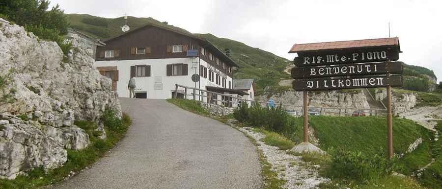
| Access | Restricted (Local taxis and bikes only) |
Where is Rifugio Angelo Bosi al Monte Piana?
The refuge is located in the Veneto region, in the northeastern part of the country, set high in the Dolomite Alps. The area is famous for its proximity to the Tre Cime di Lavaredo, offering one of the most dramatic skylines in Italy. This specific mountain, Monte Piana, was the theater of brutal high-altitude conflicts between Italian and Austro-Hungarian troops during World War I. Today, the peak remains a massive open-air museum filled with military relics, trenches, and tunnels, making it a critical site for historical logistics and mountain exploration.
Why is it called Rifugio Angelo Bosi al Monte Piana?
The high-altitude hut is named in honor of Maggiore Angelo Bosi, an officer of the Italian army who led the operations in this sector. He was led into action on July 17, 1915, during the fierce battles for the control of the Monte Piana plateau. The hut stands as a monument to the thousands of soldiers who lived and fought at over 2,000 meters in extreme winter conditions, where simply surviving the environment was as difficult as the combat itself.
Is the road to Rifugio Angelo Bosi al Monte Piana paved?
Tucked away in the heart of the mountains, the road to the alpine hut is a complex mix of old military engineering and modern patches. While a significant portion was resurfaced in 1998, it remains a narrow, technical climb that avoids asphalt in some sections where the mountain shifting nature makes it impossible to maintain. Even on the paved stretches, the challenge is real: the ramps hit 29% incline, often covered with thick layers of loose gravel outside the narrow wheel tracks. This creates a traction nightmare where any loss of momentum on the steep hairpins can leave a vehicle stranded.
How long is the road to Rifugio Angelo Bosi al Monte Piana?
Starting from the Misurina Pass, the road to the hut is 5.5 km (3.41 miles) long. The ascent is strictly closed to private motorized vehicles; only authorized local taxis and mountain bikes are permitted to tackle the climb. The narrowness of the track and the lack of guardrails make it a high-consequence drive where passing another vehicle requires precise coordination on the tiny shoulders of the mountain.
Which passes are found on the way to Rifugio Angelo Bosi?
The ascent to Monte Piana is a sequence of strategic high-altitude saddles that define the geography of the climb. As you navigate the 5.5km track, you pass through three distinct mountain gaps before reaching the final refuge. The first is Forcella Bassa, located at 1,880m (6,167ft), which marks the transition into the most aggressive vertical sections. Further up, the road crosses Forcella de Medo (also known as Forcella di Mezzo) at 1,908m (6,259ft). Finally, just before the summit plateau, the track reaches Forcella Auta (Forcella Alta) at 1,984m (6,509ft). Each of these points served as key logistical positions during the war and today they mark the brutal elevation milestones for anyone attempting to reach the 2,212m summit.
What are the technical hazards of the Monte Piana 29% ramps?
The defining danger of the road to Angelo Bosi is the extreme thermal load on the vehicle mechanical components. Reaching the summit via the Forcella Bassa and Forcella Auta requires sustained high-torque output that can easily overheat engines not prepared for such verticality. On the descent, the 29% gradients put immense pressure on the braking system. Professional taxi drivers must rely exclusively on engine braking and low-range gears to avoid terminal brake fade. The presence of gravel on the steep asphalt hairpins adds a layer of unpredictability, as the vehicle can easily lose lateral grip while navigating the narrow shelf sections of the Dolomites.