Driving to Forcella Luson in the Dolomites
Forcella Luson is a high mountain pass at an elevation of 2.383m (7,818ft) above sea level, located in the Trentino-South Tyrol region of Italy.
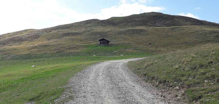
Is the road to Forcella Luson unpaved?
Set high in the Dolomites, the road to the summit, also known as Lüsner Scharte, is mostly unpaved. It’s called Via Panoramica Dolomiti or Dolomiten Panoramaweg. The road is curvy and narrow, especially near the summit. In winters, it’s usually closed.
How long is the road to Forcella Luson?
The climb is pretty steep. Starting from Strada Provinciale 29 (SP-29), the road is 8.2 km (5.09 miles) long.
Is the road to Forcella Luson worth the drive?
To the north of the pass, a gravel chairlift trail leads to Monte Telegrafo (Plose). Near the summit there’s a mountain hut known as Plosehütte (Rifugio Plose). The drive offers stunning views.
Pic: Federico Silvio Moretto