Driving the unpaved road to the summit of Vaia Pass
Passo di Vaia is a high mountain pass at an elevation of 2.114m (6,935ft) above sea level, located in the province of Brescia, in Italy. The pass is traversed by the challenging SP345B.
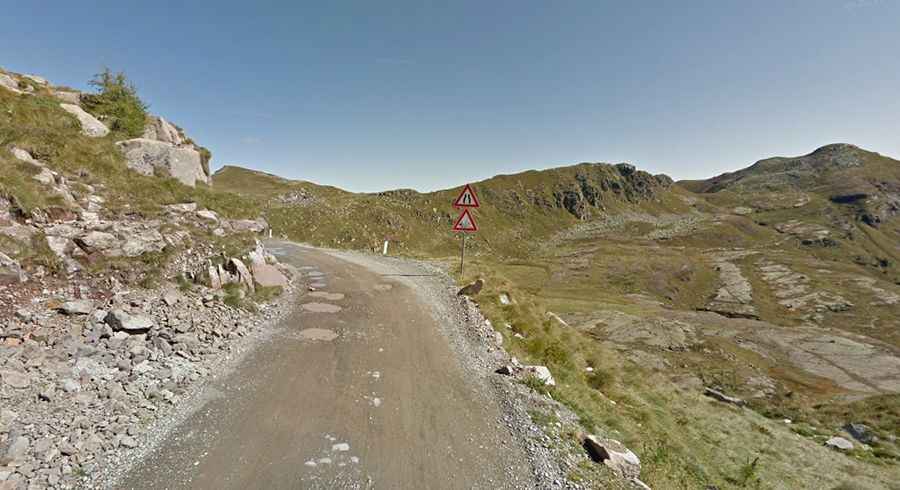
How challenging is the road through Vaia Pass?
The road through the pass is called Strada Provinciale 345B, also known as Delle Tre Valli. It’s a challenging drive with high cliffs unprotected by guardrails. The road runs mostly on top of the mountains, almost entirely above 2,000 meters in elevation. It’s narrow and steep in parts.
Is Vaia Pass unpaved?
The road can be traveled in both directions. It starts and ends paved, but the middle section is gravel. It is totally rideable despite the many rocks and deteriorated surfaces, especially in the curves. The speed limit is 20 km/h, and overtaking or stopping outside of designated parking areas is forbidden.
How long is Vaia Pass?
The pass, also known as Alpe di Vaia, is located in the Lombardy region, in the northern part of the country. It is 17.4 km (10.81 miles) long, running from Anfo Ridge Road in Passo del Maniva to the junction with the SP 669 road.