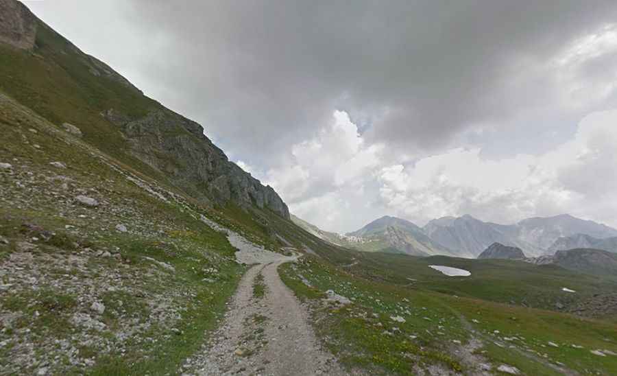
Driving the unpaved military road to Colle d’Ancoccia in Piedmont
Colle d’Ancoccia is a high mountain pass at an elevation of 2.533m (8,310ft) above sea level, located in the province of Cuneo, on the far south west of the region of Piedmont, in Italy.
Why was the road to Colle d’Ancoccia built?
Located to the south of Rocca la Meja and Lago della Meja, the road through the summit was built with military purposes. The path is dotted with numerous abandoned military bunkers and barracks of the Alpine Wall.
Is the road to Colle d’Ancoccia challenging?
The road is entirely unpaved, filled with loose stones. It has considerable challenges due to its precipitous sections, reaching a maximum slope of 25%. A 4x4 vehicle with high clearance is required.
Is the road to Colle d’Ancoccia open?
Set high in the Cottian Alps, the road is usually impassable during winter months.
How long is the road to Colle d’Ancoccia?
Tucked away in the country's northern region, close to the French border, the road through the summit is 37.1 km (23.05 miles) long, starting from the paved SP113 road, to the south of Marmora.