Passo di Fraele: Driving the historic gravel road near the Swiss border
Located in the Lombardy region of northern Italy, Passo di Fraele is a high mountain pass reaching an elevation of 1,955m (6,414ft) above sea level. Situated near the international border between Switzerland and Italy, this pass is a historical gateway in the Alps, offering a stunning landscape dominated by turquoise lakes and ancient defensive structures.
| Road facts: Passo di Fraele | |
|---|---|
| Location | Lombardy, Italy (Near Swiss border) |
| Elevation | 1,955 m (6,414 ft) |
| Surface | Gravel / Unpaved |
| Restriction | Closed to motors 9:00 - 19:00 (Summer) |
| Hazard Level | Moderate (Dust & Ruts) |
Where is Passo di Fraele?
The pass connects the Valle di Fraele on the Italian side with the Val Mora on the Swiss side. It is located in a high-altitude plateau characterized by its proximity to the Stelvio National Park. The road to the summit begins at the iconic Passo Torri di Fraele, famous for its twin defensive towers. From there, the route winds past the spectacular Lago di Cancano and Lago di San Giacomo, two massive artificial reservoirs that define the valley's unique appearance.
Is the road to Passo di Fraele paved?
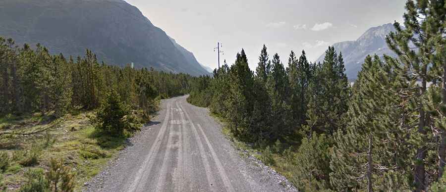
No, the road to the summit is entirely unpaved gravel. However, it is a well-maintained service road where a high-clearance 2WD vehicle is generally able to travel safely at low speeds. Despite being maintained, drivers should be prepared for typical unpaved hazards such as washboarding, ruts, and dips, especially after heavy rain. The track is wide enough for comfortable passing in most sections, but the lack of asphalt means dust can be an issue during dry summer months. It is a technical but rewarding drive that requires a vehicle in good mechanical condition.
How long is the road to Passo di Fraele?
The main gravel section starts after ascending the hairpins of the Torri di Fraele and continues for several kilometers along the flat lake-side plateaus before reaching the pass at the northern end. The road is usually closed from November to June due to heavy snowfall at nearly 2,000 meters. A critical logistical detail for drivers is the summer restriction: during the peak months, the road is closed to all motorized vehicles between 9:00 and 19:00 to allow for hikers and cyclists to enjoy the area safely. Planning your journey outside these hours is essential if you intend to drive to the summit.
What are the main hazards on Passo di Fraele?
While the gradient is not extreme, the main hazards are weather-related and regulatory. Sudden storms can quickly degrade the gravel surface, making ruts deeper and more difficult to navigate for low-clearance cars. Additionally, because the road is shared with many cyclists and pedestrians during the open hours (early morning and late evening), drivers must maintain a low speed and be extremely vigilant. The isolation of the northern side near the Swiss border means there are no services, so ensuring you have enough fuel and water is a basic requirement for this high-mountain expedition.